Digital technology and high-tech equipment is enabling the transition to precision farming, which improves agricultural productivity and reduces costs. The market of information and computer technologies in this area is 360 billion rubles, and by 2026 it will grow 5 times. Today, “drones” are used for the most effective and efficient field monitoring. But such opportunity is not available to all farmers for economic reasons, and drone flights are limited in time.
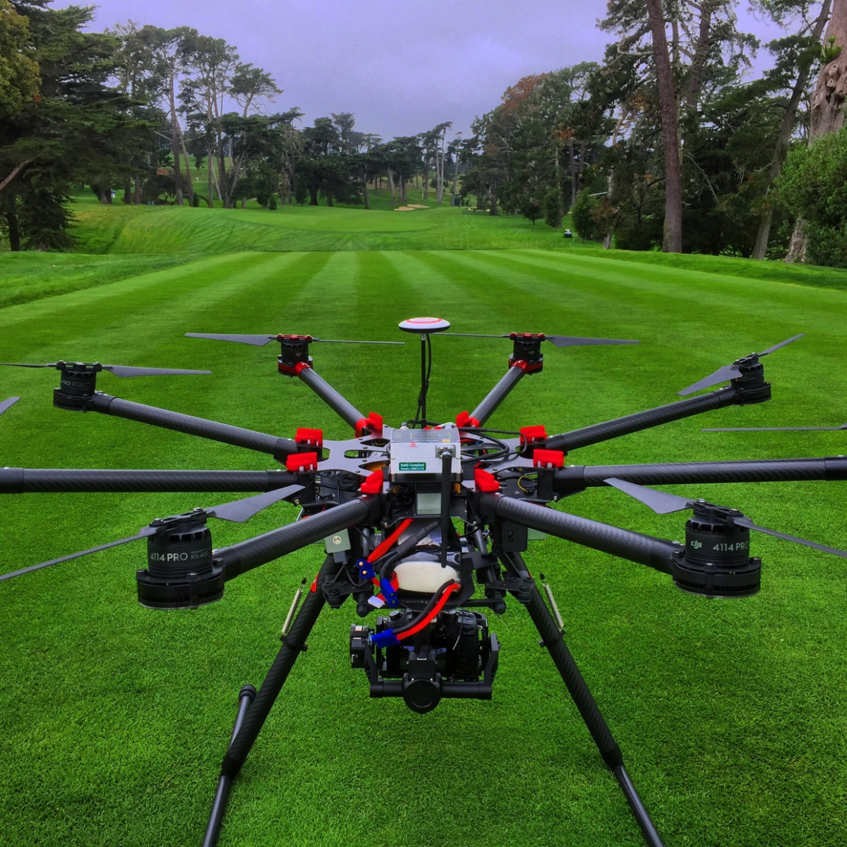
Perm developers have created a prototype of the light and durable Acro3D Scanner drone, which can fly longer than its counterparts. The advantage of the development is in the application of the SandwichFrame concept: instead of the traditional base from a carbon frame, the developers used textolite printed circuit boards with soldered electronics. They were combined into a multi-layer construction. The technology made it possible to reduce the weight and dimensions of the aircraft without losing its main properties: strength, rigidity and functionality. According to the researchers, the modular multicopter can be configured based on the individual needs of farmers. It also doesn't take much time to assemble the copter.
The weight of the prototype drone measuring 1.1 x 1.05 m was 3.5 kg, the flight time takes about 50 minutes. It is capable of lifting loads up to 11 kg into the air to a height of 450 m and a speed of up to 18 m / s.
Surveying with multispectral and hyperspectral cameras will provide farmers with information for mapping. This will help to pinpoint the use of fertilizers and plant protection products, monitor crops, for example, track the growth rates of crops. To do this, the farmer will need to make the required number of flights at different stages of plant development.
Agriscientist will be able to obtain information about the heterogeneity of crops and the presence of weeds, as well as assess the future harvest. According to researchers, the service will help reduce costs by 30-50%. Maps can be used in software products ("Field History", GIS Map, ArcGis, QGis, FarmWorks), in monitoring systems (Autograph, Scout, Wialon) and in mobile applications.
Perm researchers have already created the first map of the field, the effectiveness of which has been confirmed by customers, and also completed several orders for the destruction of pests. The development will be of interest to large companies that are engaged in agriculture and grain production. In addition to agriculture, drones can also be used to perform unique tasks in industry and professional video filming. Now the developers are looking for investors to develop the technology.


